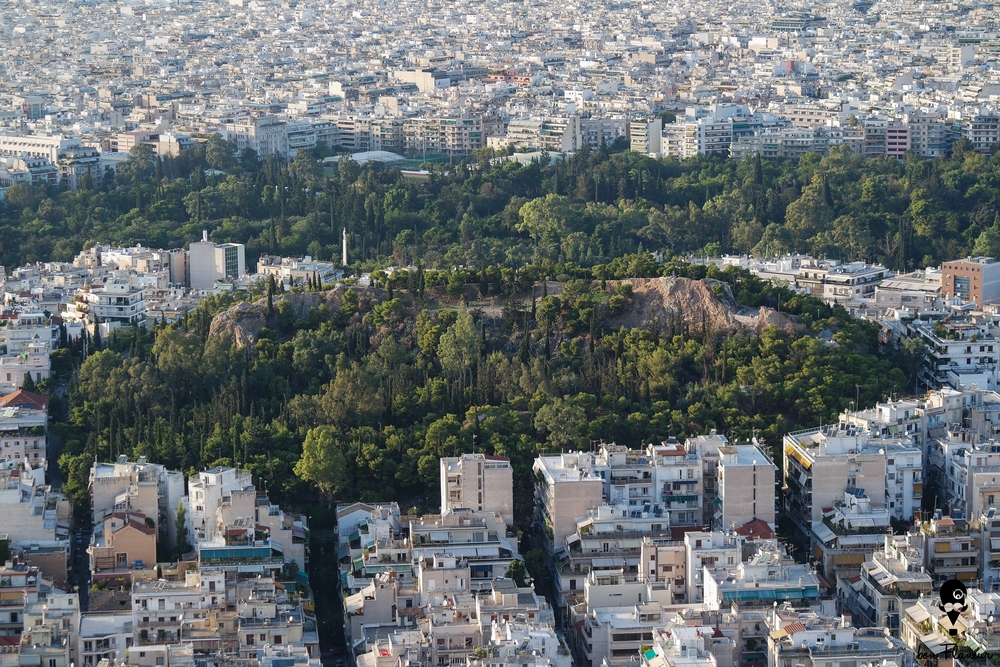
The Strefi hill is 168 metres high and covers an area of 4.6 acres, next to Lycabettus.
Modern and Contemporary era (1821 - )
It is unclear when it passed into municipal jurisdiction. Some sources say in 1938, after being expropriated by the Greek State in 1914, and others believe it was donated by the Strefis family to the municipality of Athens in 1963.
1944 During the December 1944 events (Greek Civil War) it was ELAS’s fortress.
Ottoman era (1453- 1821)
Byzantine era (331 AC- 1453)
Roman era (30 BC- 330 AC)
Hellenistic era (322- 31 BC)
Classical era (478-323 BC)
Archaic era (800-479 BC)
Geometric era (-1100- 800 BC)
Prehistory (-1100 BC)
What I can see
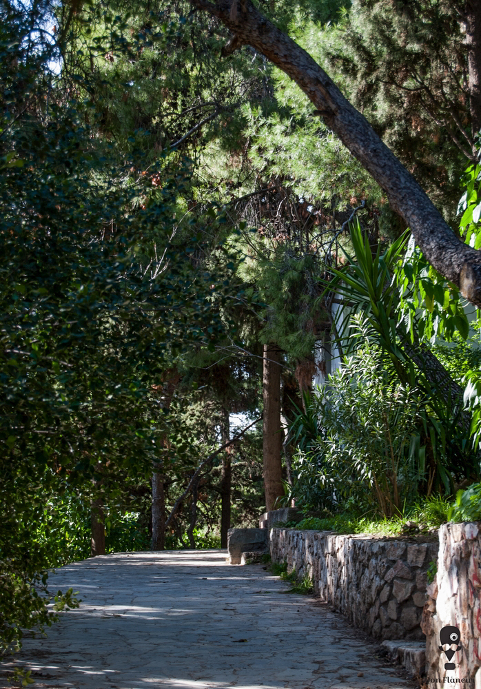
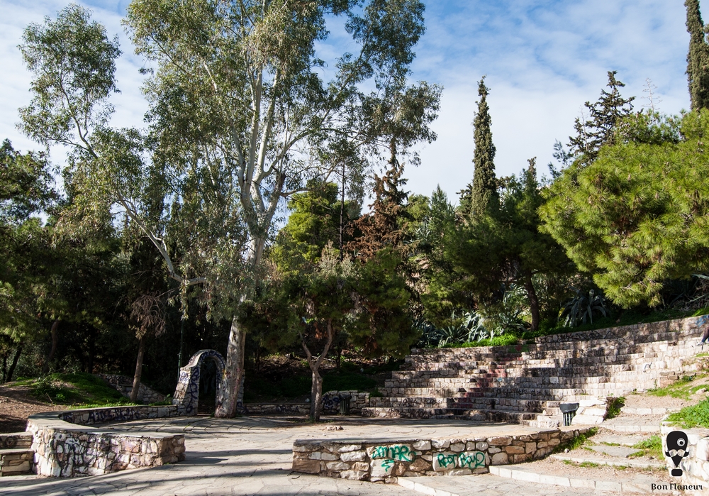
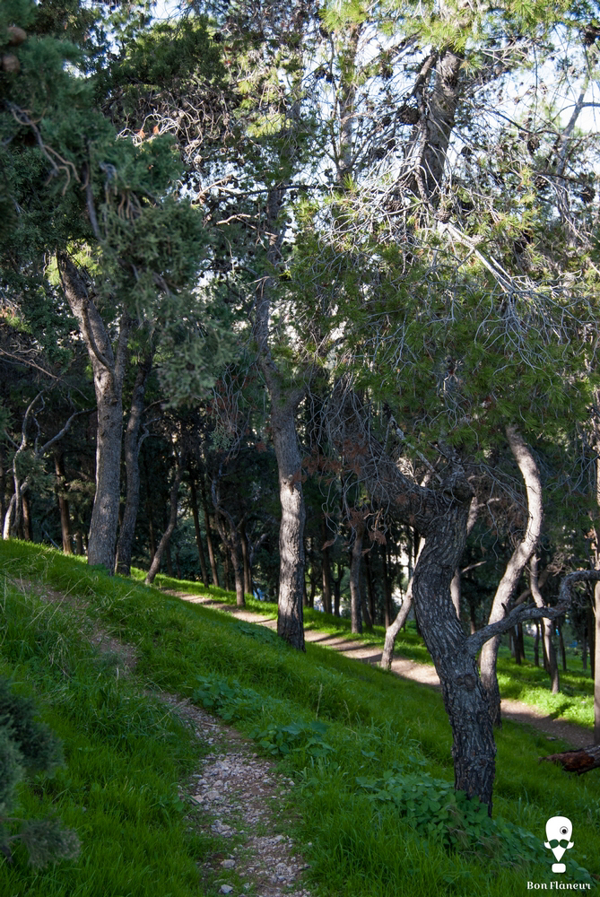
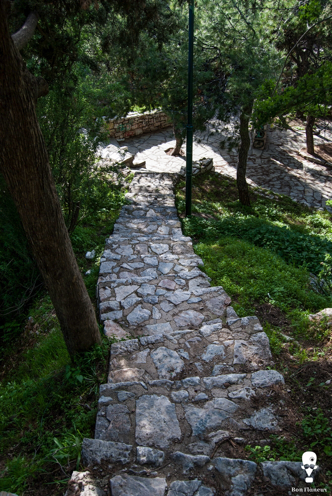
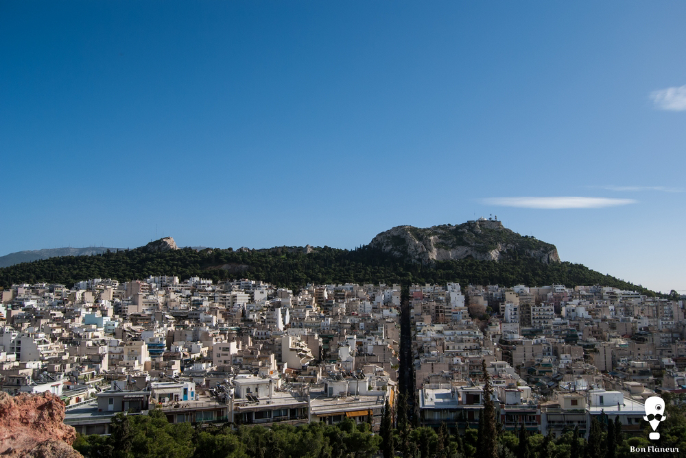
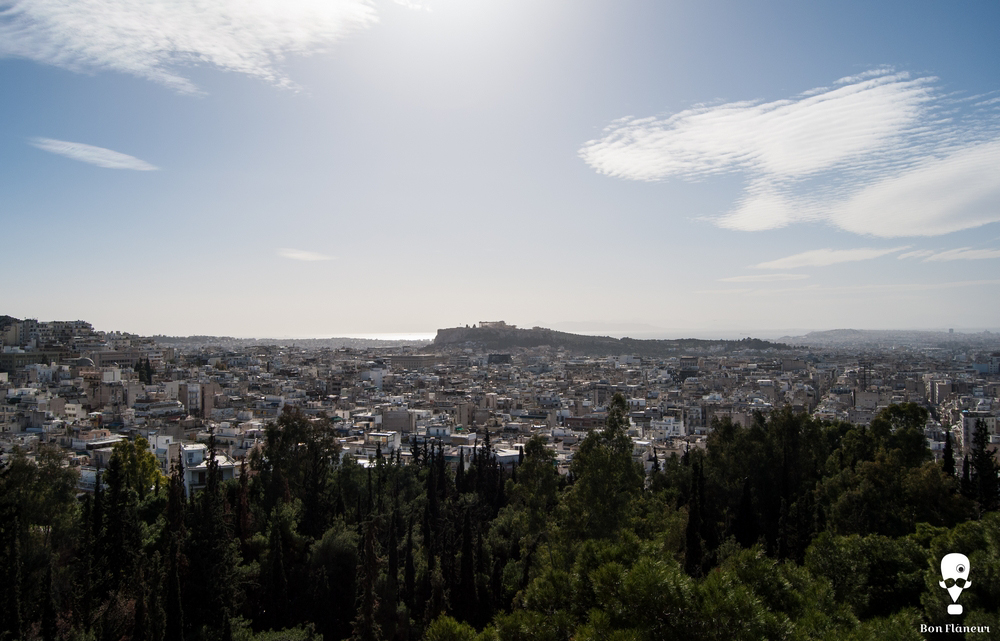
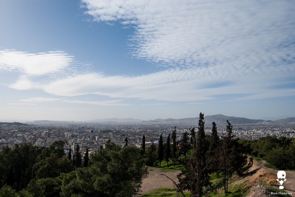
This hill is 168 metres high and covers an area of 4.8 acres. There are various ornamental plants, but Greek and alien species of pine dominate the hill, with the Aleppo pine as the main tree. Grouse is the species that stands out from the hill’s fauna. Moreover, there is a basketball court, a playground, and a small theatre. However, the most interesting aspect of Strefi Hill is the great view from the top. On one side, one can see the Acropolis and Piraeus, the “hard” densely built environment of Gyzi district at the opposite side, and the imposing green Lycabettus Hill standing to the east.
What I can't see
During the Turkish occupation, the hill was called “Pinakota”, an alteration of a Turkish word which meant stone or high rock. Strefi Hill belonged to the Strefis family and until the 1920s served as a quarry. The houses of the district Neapolis were built from this quarry. It is said that the then officer Strefis was forced to start planting the trees because he could no longer bear his wife’s complaints that the dust of the quarry soiled the laundry.
Bibliography
http://www.attiko-prasino.gr/Default.aspx?tabid=1099&language=el-GR
Last visit 22/10/2016
Yohalas T., Kafetzaki Τ., (2013), Αθήνα, Ιχνηλατώντας την πόλη με οδηγό την ιστορία και τηλ ογοτεχνία [Athens, Tracing the city guided by history and literature], ESTIA Bookstore