Potamos
Potamos is a “mixed” beach, which means that it’s neither fully pristine nor fully organized.
Potamos is a “mixed” beach, which means that it’s neither fully pristine nor fully organized.
Home > Thessaloniki > Nature > Sea front > Prefecture of Thessaloniki > Potamos
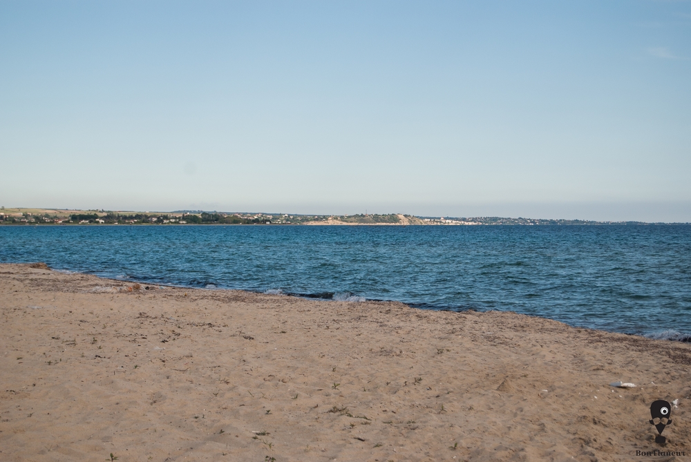
Potamos (=River) beach is located in the southwest of Thessaloniki and has a length of about 6.5 km. It is essentially the southern part of Epanomi beach and includes the southern part of the homonymous wetland and the Shipwreck beach. However, there are many who place Potamos beach only in the part east of the Shipwreck beach. Potamos is a “mixed” beach, which means that it’s neither fully pristine nor fully organized. In places where it is organized, there are beach bars, sports facilities and some restaurants. From the Shipwreck to the west, towards the “peak” of the wetland and the lighthouse, the beach is pristine and is frequented by nudists.
Thessalonians prefer Chalkidiki for their summer excursions, an area with beaches of rare beauty. Potamos however, offers an ideal quick “escape” for lovers of swimming, with waters that have been declared fit for swimming in spite of its proximity to the city.
Field observation by scientific editors
Kokkouvas G., (2013), Οι παραλίες της Θεσσαλονίκης: Βουτιές… στον Βορρά, [Thessaloniki Beaches: Diving… to the north], in In2life,
http://www.in2life.gr/escape/infoguide/article/283971/oi-paralies-ths-thessalonikhs-voyties-ston-vorra.html
Last visit 11/9/2014


Share