Skala of Zagkliveri Gorge
Skala of Zagkliveri Gorge is a beautiful route in nature.
Skala of Zagkliveri Gorge is a beautiful route in nature.
Home > Thessaloniki > Activities > Walking- Hiking > Prefecture of Thessaloniki > Skala of Zagkliveri Gorge
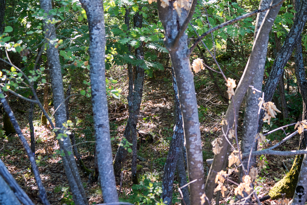
50 km east of Thessaloniki, on the northern slopes of Hortiatis Mountain and between the villages of Petrokerasa and Zagkliveri, is the impressive Skala Gorge. Its length is about 5km, it starts at an altitude of 820m and ends at an altitude of 220m. The vegetation is very rich and includes impressive plane trees, oaks and many types of aquatic vegetation. As we descend the gorge, the vegetation consists of smaller plants (e.g. kermes). The entrance to the gorge is on the Gerakarous- Zagkliveri provincial road, approximately 2.8 km from the village of Zagkliveri.
Many streams in the area, from Livadi to Petrokerasa, contribute to the stream of the gorge, known as Platanorema of Zagkliveri, which is connected to another stream (Derveni) and ends in Lake Volvi. It flows all year round, although it is noticeably reduced from August to September. It is a refuge for many mammals, amphibians, reptiles, birds and the briana (barbus macedonicus), a rare species of freshwater fish. From the 1960s until the 1980s, floodplain management projects were implemented. They included small reinforced concrete dams to reduce water flow velocity and soil erosion. This resulted in explosive vegetation and an impressive landscape throughout the year.
Hiking Experience (2019), Το Φαράγγι της Σκάλας στο Ζαγκλιβέρι Θεσσαλονίκης, [The Skala Gorge in Zagkliveri of Thessaloniki], in The Hiking Experience,
Last visit 16/1/2023


Share